Land Degradation Monitoring
Monitor soil health and land use changes to prevent degradation
Solution Highlights
Comprehensive Land Degradation Monitoring
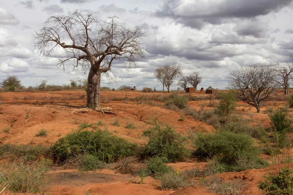
Our Land Degradation Monitoring solution uses satellite imagery and AI to detect soil erosion, track land use changes, and monitor restoration efforts. This helps prevent desertification, promote sustainable land management, and support agricultural productivity across Africa.
Through time-series analysis of satellite data and machine learning algorithms, we identify degradation hotspots, track restoration progress, and provide early warnings for land management interventions.
Technology Stack
Built on optimized geospatial technologies.
Multi-Source Satellite Data
Sentinel, Landsat, MODIS integration with automated pipelines
AI & Machine Learning
Deep learning models specifically trained on African environmental data
Cloud Infrastructure
Scalable AWS/Azure processing with 99.9% uptime guarantee
Real-time Analytics
Live monitoring, alert systems, and API integrations
Implement Land Degradation Monitoring
Discuss how Land Degradation Monitoring can support your operations.